Details:
Highlights:
Description:
TSW led a consultant team to update Riverdale’s Livable Center Initiative (LCI) Plan, adopted in 2007. This LCI update was done concurrently with the City’s comprehensive plan update, giving TSW the opportunity to incorporate some of the plan’s recommendations into the LCI update, and the opportunity to influence some of the comprehensive plan’s recommendations as well.
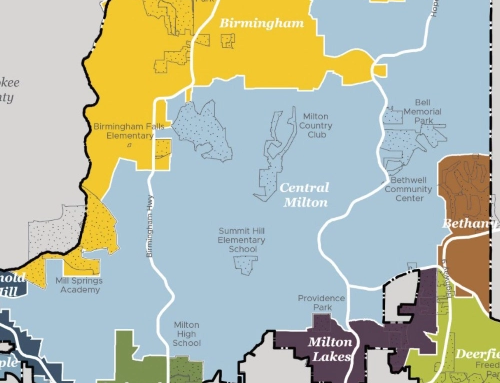
The plan considered two geographies: the LCI study area, and a subarea along Church Street, west of SR 85, the city’s primary north-south arterial. General recommendations related to transportation and economic development were applied to the whole LCI study area, while more detailed land use, zoning, and design recommendations were reserved for the Church Street subarea.
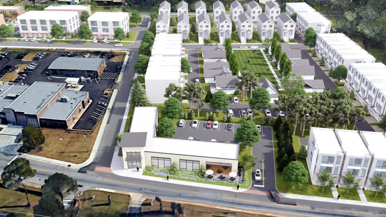
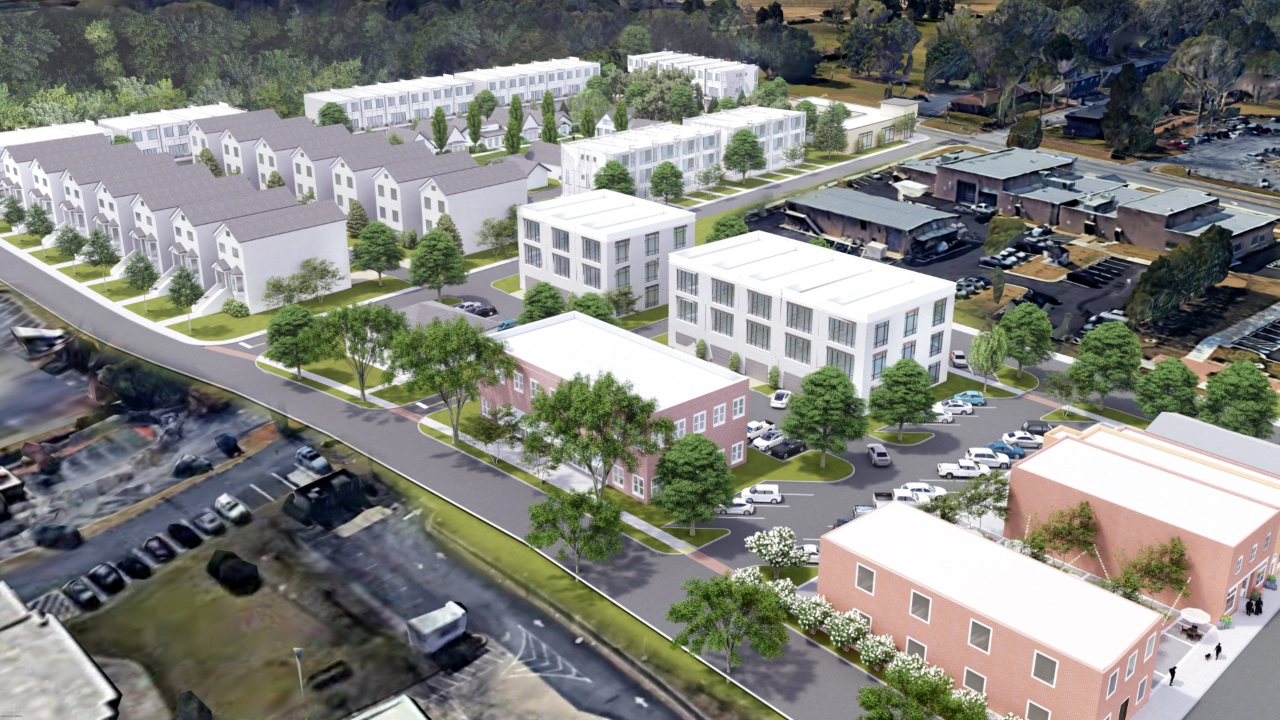
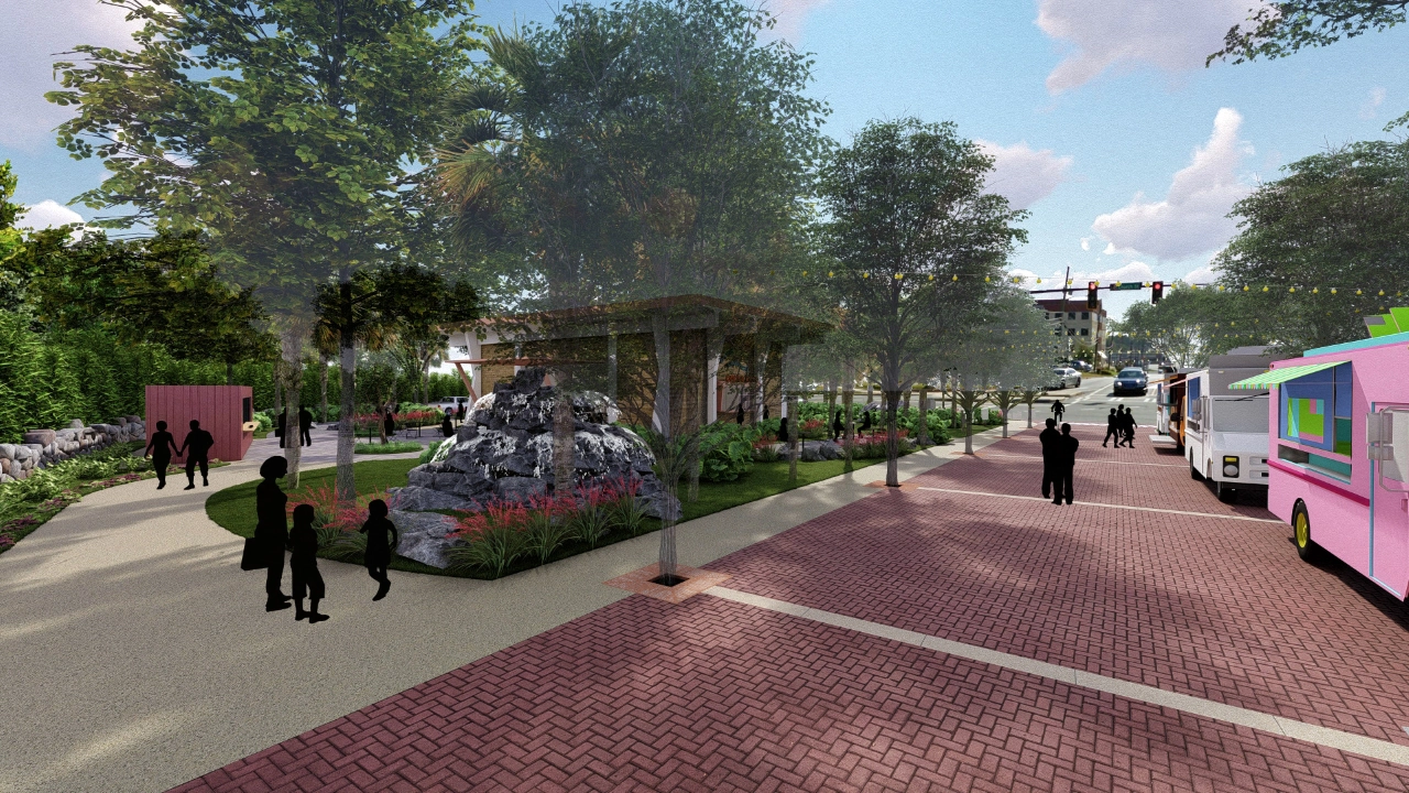
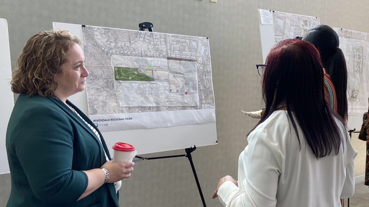
The plan’s vision was to activate key areas along Church Street with new development and redevelopment to bring in new residents and create long-term demand for commercial development. This new district would also attract visitors and bring a sense of pride to the city’s residents. The project involved an extensive public outreach effort with an online and paper survey and a 2-day charrette with the entire consultant team that included design sessions with the community, appearing at a local event to spread the word about the plan, and an open house to conclude the charrette.
The LCI Plan consisted of both design and policy goalsto reach the vision:
The overall design framework considered a number of factors, including the community’s desire for a mixed-use Town Center, vacant historic properties owned by the City, limited real estate demand, transit expansion plans, and the need to improve pedestrian and cyclist safety along major streets. Two alternative design plans were developed: the first was based on market realities and would be more feasible in the short-term, and the second was a “pie in the sky” alternative that could be feasible either in the long-term or if a significant intervention in the market caused a large surge for new commercial development. The following are other key design recommendations that resulted from an extensive existing conditions analysis, market analysis, and public input: