Details:
Highlights:
Description:
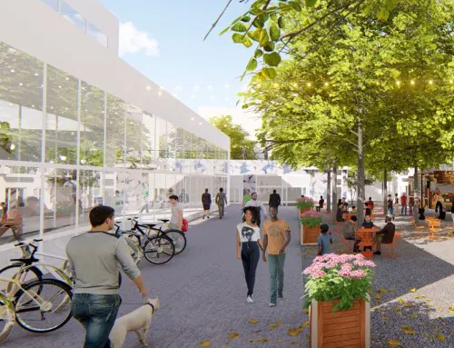
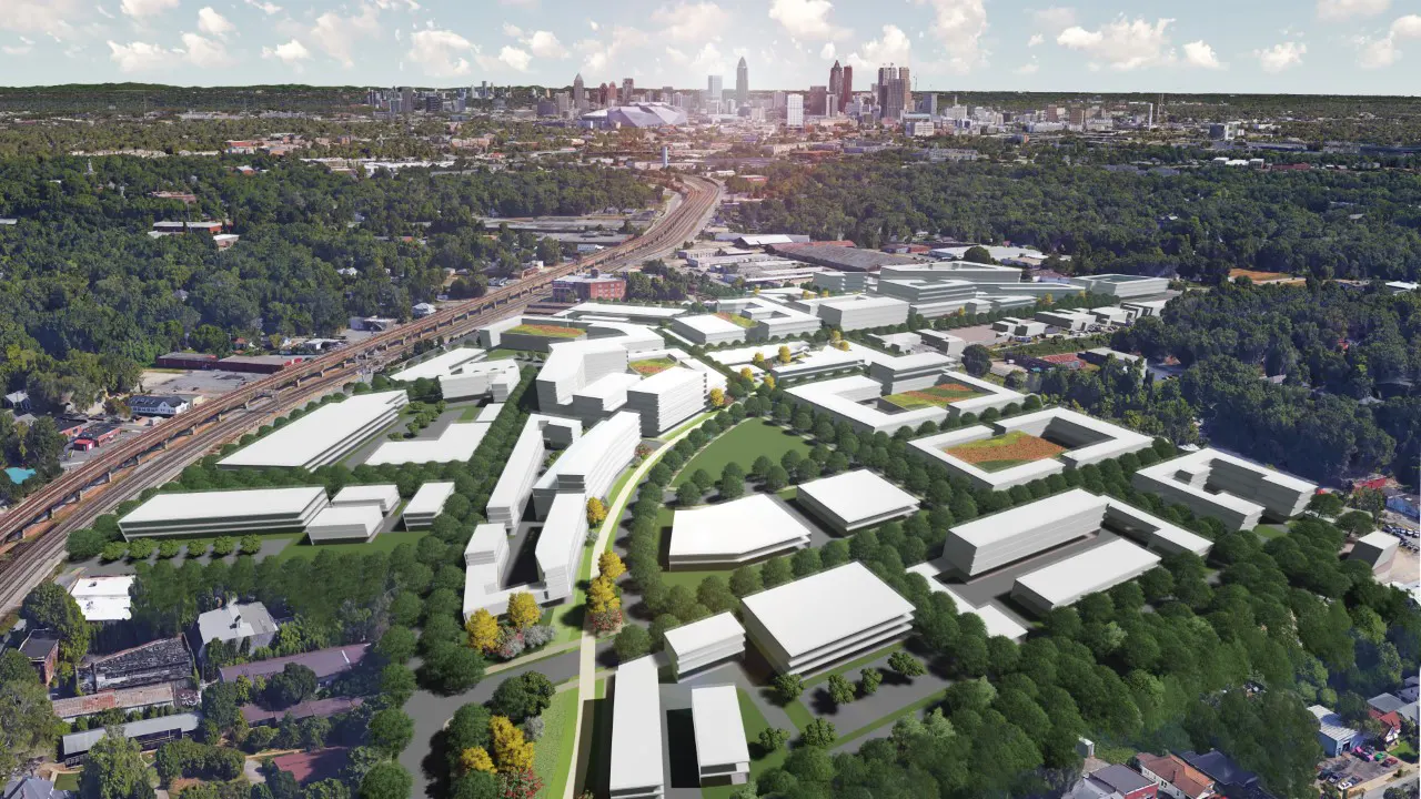
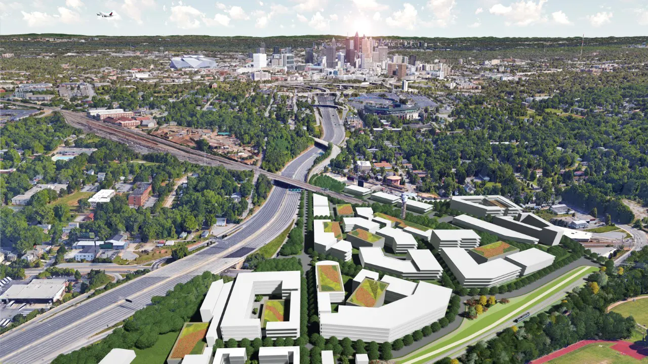
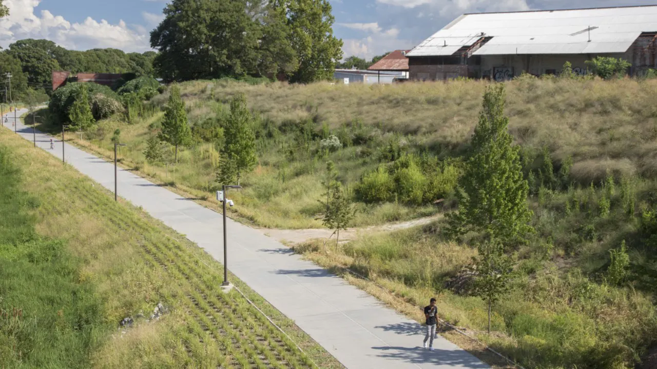
The Atlanta BeltLine is a planned and open 22-mile network of trails, transit, and parks that circles downtown Atlanta. It is divided into 10 subareas for more detailed planning. Subarea 2, located south of downtown, includes many historic neighborhoods and former industrial areas that are beginning to experience development pressure as the BeltLine becomes a reality.
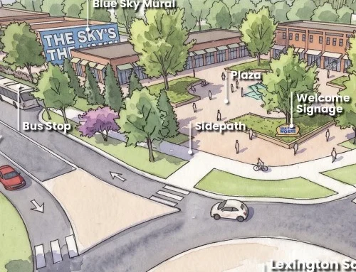
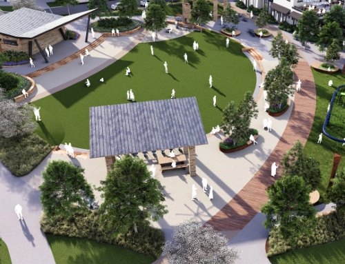
TSW was retained to prepare the original Subarea 2 Master Plan in 2007, and worked with the Atlanta BeltLine, Inc. and local communities to prepare a comprehensive update of the plan in 2018-2020. The Master Plan addresses land use, open space, transportation, affordable housing, historic preservation, zoning, and market realities. The plan focuses on encouraging economic development and redevelopment while preserving the character and affordability of existing neighborhoods. Proposed street and trail connections make sure that every neighborhood has access to the BeltLine and public parks.
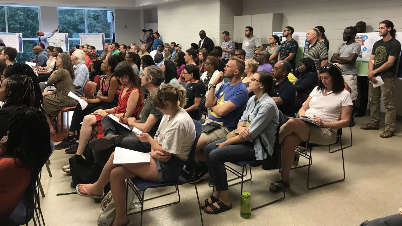
The plan included a number of public meetings to ensure that the results are in line with the local communities’ needs and desires. These included steering committee meetings, a Saturday workshop, flyers distributed to local businesses, and other public forums. This extensive community engagement process provided a clear understanding of the needs and desires of the local residents and helped to ensure that the plan was tailored to meet the specific needs of the Subarea 2 community.
Overall, the Subarea 2 Master Plan is a comprehensive and thoughtful approach to development that considers the needs of the community, while also addressing the economic and development needs of the area. The plan is designed to ensure that the development of the Atlanta BeltLine benefits both the local residents and the greater community, by promoting economic development and preserving the character and affordability of the area.